Get started
2426 commitsLast commit ≈ 6 months ago2 stars1 fork
The Digital Earth Viewer is a tool for the visualisation and exploration of geospatial data in true 3D over time. It runs on Windows, MacOS and Linux and only requires a modern webbrowser to use. Common file formats such as CSV, netCDF, GeoTIFF and many more are natively supported.
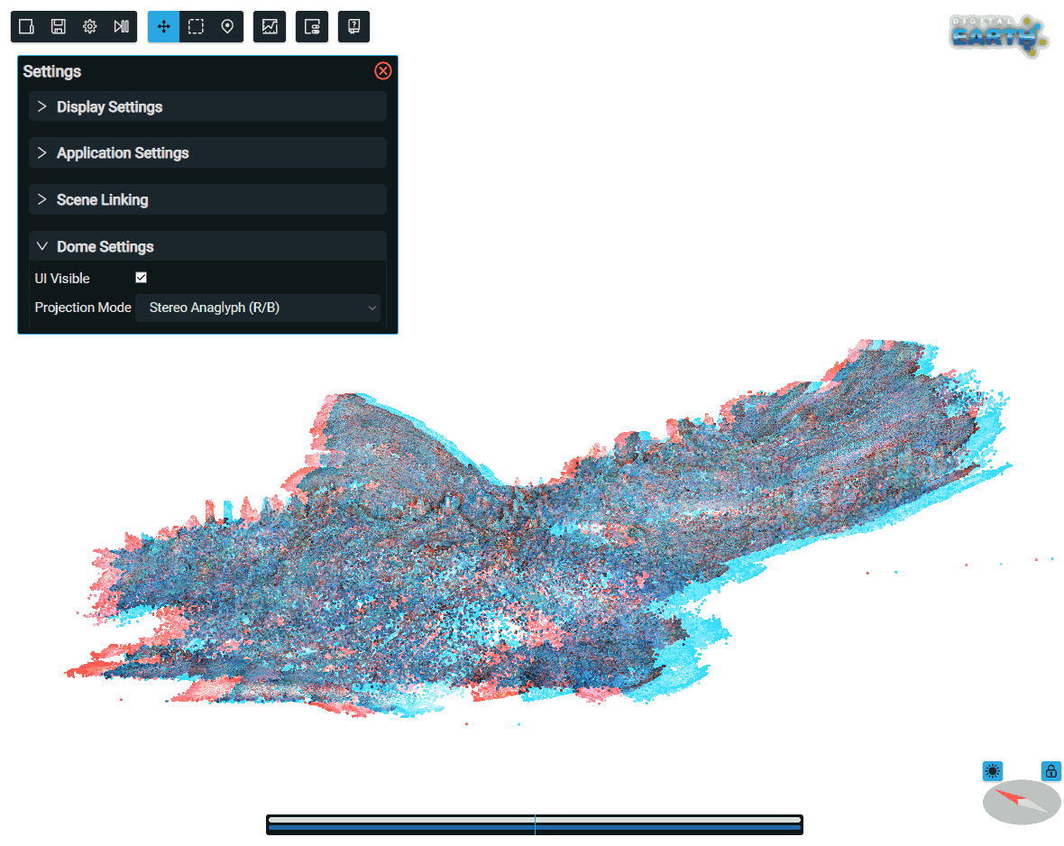
The Digital Earth Viewer is a web-based tool for the visualization and exploration of geospatial timeseries data. It can load data from files such as CSV, netCDF, GeoTIFF, shapefiles or SQLite databases, but also from online sources like OpenStreetMap or WMS servers. It provides a Google-Earth-style 3D globe visualization in which the user can simultaneosly view data from different sources. This contextualization can help with aiding understanding complex datasets. Users can scroll through timeseries, navigate on the globe and query or graph selected data. As the viewer is provided as a single 25MB executable with no dependencies besides a modern web browser, it can be quickly deployed and used both in the field as well as in the lab or even in hosted contexts. Scenes can be viewed either on a regular monitor, in anaglyph 3D or on projection domes. As data is extracted, reprojected and pyramidized at runtime, no lengthy preprocessing is needed. The application is licensed under the EUPL v1.2 and thus can be freely used and extended.
Several online showcases are hosted:
A short introduction to the viewer was given at EUROVIS2021:
Digital Earth Viewer: a 4D visualisation platform for geoscience datasets (link to Youtube)
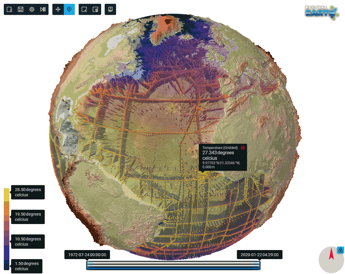
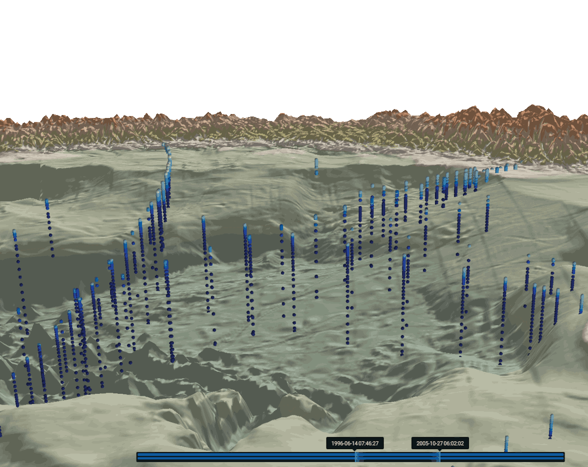
 Examples of the Digital Earth Viewer.
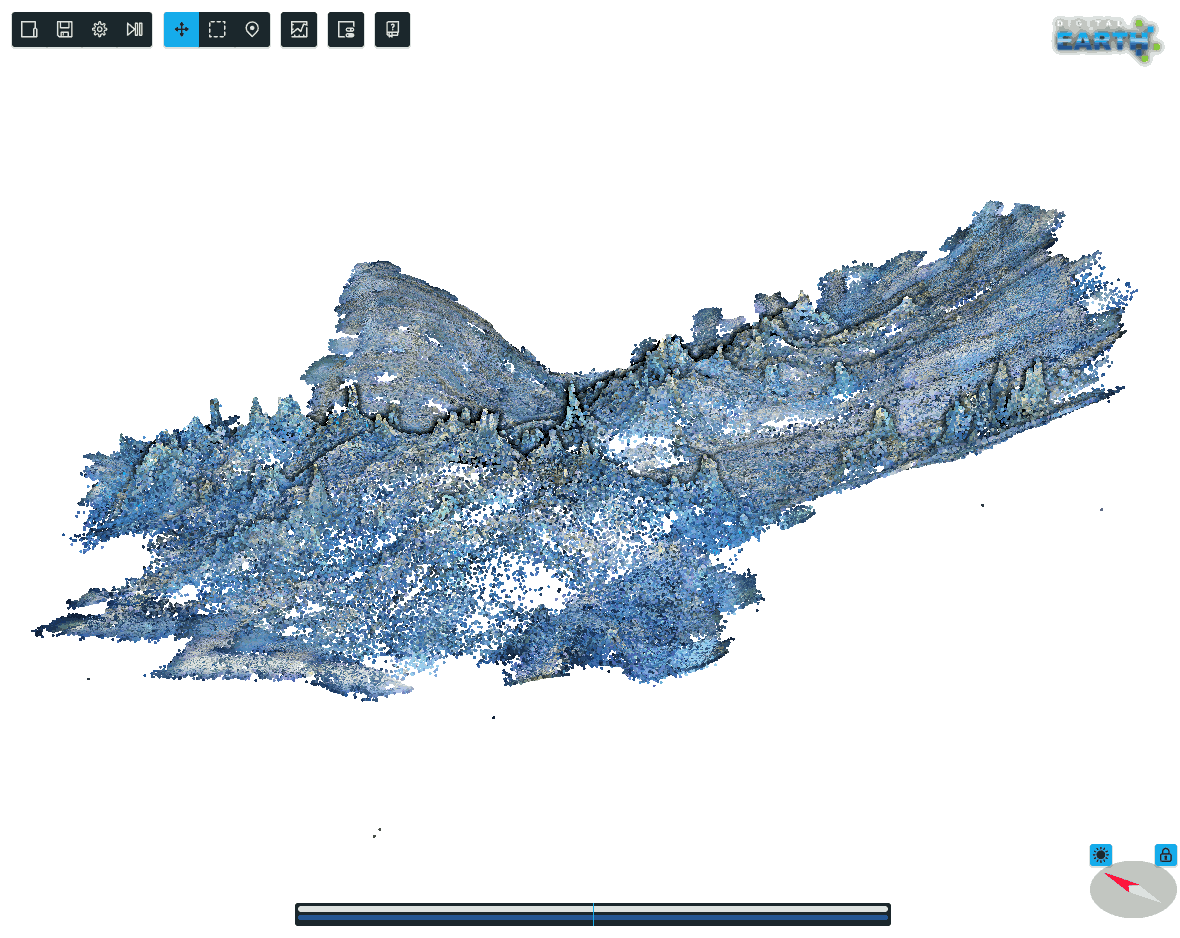
