Get started
67 commitsLast commit ≈ 50 months ago0 stars0 forks
A slim python library to link maps and sampling data with prediction methods. Needs scipy, numpy, matplotlib, pykrige, osgeo, rasterio.
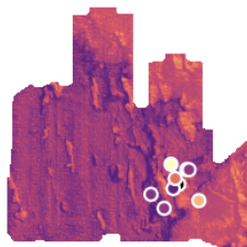
Do you have 2D spatial data (aka maps) and sampling data from locations inside these maps? Do you maybe want to extrapolate sampling data (aka measurements or observations) to the full extent of a map? Then you probably need a better toolkit than this but pyquickmaps might help you to achieve a quick'n'dirty result.
