
ASPECT - The Advanced Solver for Planetary Evolution, Convection, and Tectonics
ASPECT is a code to simulate convection and tectonic processes in the Earth and other planetary bodies. It has grown from a mantle-convection code into a tool for many geodynamic applications, like glacial isostatic adjustment, lithospheric scale deformation, ore formation and two-phase flow.
- C++
- CFD
- Computational Fluid Dynamics
- + 6
- C++
- Python
- CMake
- + 10
BELUGA
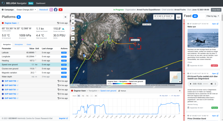
BELUGA is a system for displaying and monitoring platforms and sensor data during operations at sea in real time. Data can be displayed on board vessels and is available in an online interface in near real time. Communication with the platforms is also possible. Try it here: https://beluga.geomar.de
- Data Visualization
- Mission Planning
- Near Real-time
- + 1

CIMPredict
CIMPredict delivers an alternative to the FRAX fracture risk calculator for osteoporosis patients based on a new Calcium isotope marker in blood.
- Blue Health Tech
- Data analysis
- Health
- + 2
- Python
- R
CICMoD - A Climate Index Collection based on Model Data
The software provides a consistent and comprehensive collection of climate indices typically used to describe Earth System dynamics and serves as a new benchmark data set. It allows users to develop new machine learning methods and to compare their results to existing methods in an objective way.
- Earth & Environment
- FAIR Data
- Image processing
- + 1
- Jupyter Notebook
- Python
- Shell
- + 1
Digital Earth Viewer
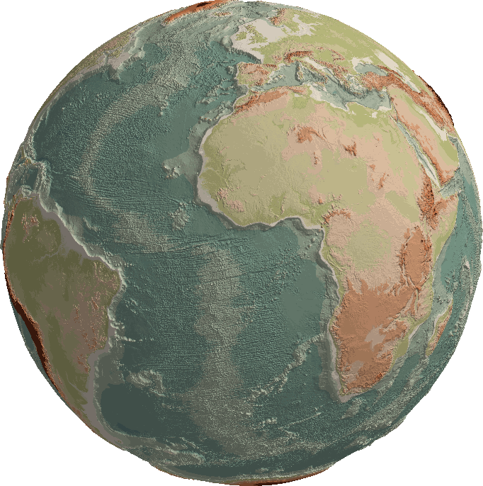
The Digital Earth Viewer is a tool for the visualisation and exploration of geospatial data in true 3D over time. It runs on Windows, MacOS and Linux and only requires a modern webbrowser to use. Common file formats such as CSV, netCDF, GeoTIFF and many more are natively supported.
- Data Visualization
- Earth & Environment
- Environmental Data
- + 1
- Rust
- JavaScript
- TypeScript
- + 2

DIPLO
Digital Plankton Workflow Editor
- aquatic imaging
- Image processing
- imaging workflow editing
- + 1
- Python
ESM-Tools
ESM-Tools is a toolbox to assist you in running climate and Earth System Model simulations.
- Earth & Environment
- Earth System Modelling
- FAIR Software
- + 11
- Shell
- Python
- Fortran
- + 5

LUCYD
LUCYD - A Feature-Driven Richardson-Lucy Deconvolution Network
- deblurring
- deconvolution
- image enhancement
- + 1
- Python
Miniproj
Geographic coordinate projections between projected coordinate systems and their underlying geographic reference systems as defined by the European Petroleum Survey Group Geodesy.
- Earth & Environment
- Rust
O2A SEQUENCES
O2A SEQUENCES provides a single platform for the full metabarcoding lifecycle: it keeps samples, metadata, and sequences linked, runs containerized workflows that produce provenance-tracked ASV tables, generates submission-ready exports for public archives, and delivers AI-ready outputs.
- bioinformatics
- Data analysis
- data managment
- + 7
OSADCP Toolbox
Open-source Python toolbox called OSADCP for scientists to convert, clean, calibrate and organize binary raw vessel-mounted Acoustic Doppler Current Profiler (ADCP) data for scientific use. The toolbox is designed to process ADCP measurements in deep water by Teledyne RDI Ocean Surveyor ADCPs.
- Data Visualization
- Earth & Environment
- FAIR Data
- + 5
- Python
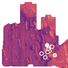
PyQuickMaps
A slim python library to link maps and sampling data with prediction methods. Needs scipy, numpy, matplotlib, pykrige, osgeo, rasterio.
- Data Visualization
- Earth & Environment
- Predictive Mapping
- + 1
- Python