mHM
The mesoscale Hydrologic Model (mHM) is a well established hydrological model used by the scientific community. It is under active development with dozens of contributors and has an open community always interested in discussions.
OpenGeoSys (OGS) is a scientific open source project for the development of numerical methods for the simulation of thermo-hydro-mechanical-chemical (THMC) processes in porous and fractured media.
OpenGeoSys (OGS) is a scientific open source project for the development of numerical methods for the simulation of thermo-hydro-mechanical-chemical (THMC) coupled processes in porous and fractured media. OGS has been successfully applied in the fields of regional, contaminant and coastal hydrology, fundamental and geothermal energy systems, geotechnical engineering, energy storage, CO2 sequestration/storage and nuclear waste management and disposal.
OGS has been selected as the simulation suite to support the site selection process and the geotechnical design of the repository systems for the future german nuclear waste repository (see www.openworkflow.de).

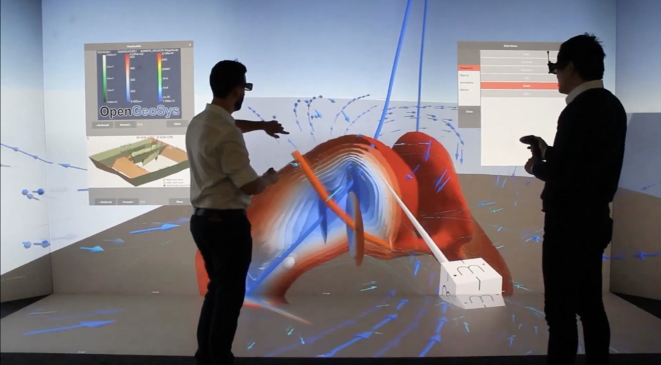
Scientists discuss the OpenGeoSys simulation results of a geothermal model in the Visualization Centre of the UFZ.
OpenGeoSys provides a flexible simulation framework, a wide array of pre- and postprocessing tools to implement comprehensive simulation workflows as well as the possibility to utilize HPC environments for very large simulations runs. It is developed as an open-source community project. User support is available at the community forum.

The mesoscale Hydrologic Model (mHM) is a well established hydrological model used by the scientific community. It is under active development with dozens of contributors and has an open community always interested in discussions.